GEOPHYSICAL SURVEY
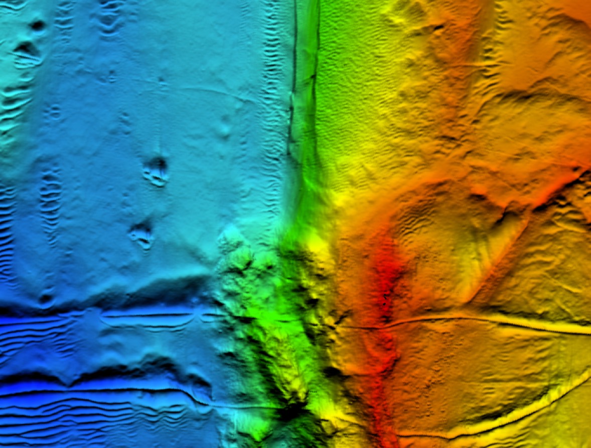
Arus Jaya uses high resolution geophysical systems to acquire data in the entire range of water depths from very deep to very shallow. The raw data is processed by our expert team in order to provide our Clients with:
Bathymetric charting of the seabed
Identification and mapping of seabed features such as debris, shipwrecks and subsea structures
Digital seabed imagery
Profiles of seabed geological features
Identification of the sub-bottom geophysical sediment data
Identification of buried objects and hazards